Drone Services Ontario: Survey, Mapping and Video
UAV Ontario offers advanced drone services throughout Ontario. We can provide site surveys, construction progress surveys, aerial drone mapping and related services as outlined below. We can provide a variety of output formats to suit your needs.
Our pilots all have advanced certifications from Transport Canada and our drones are equipped with a certified parachute system which allows us to legally fly over roads and people.
We have over 10 years experience working with pilots, engineers, surveyors, architects and various other stakeholders to get your job done on time and on budget. Every job can be slightly different so please contact us to discuss how we can help with your next drone survey project.
Site Surveys

Site surveys and vertical data. Evaluate your site with a variety of models.
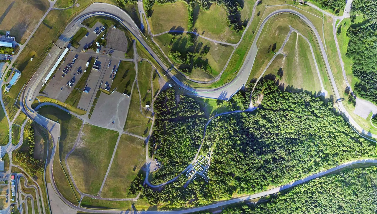
Road and Corridor Mapping

We can document your route or assets using advanced video and photography.
Project Progress

We can visit your site weekly, monthly or quarterly and provide regular updated imagery.
Orthomosaic Images
1 acre or 1000 acres our orthomosaic images will have your site covered.
Video Surveys

Precise video surveys can be produced for environmental or municipal assessments and negotiations.