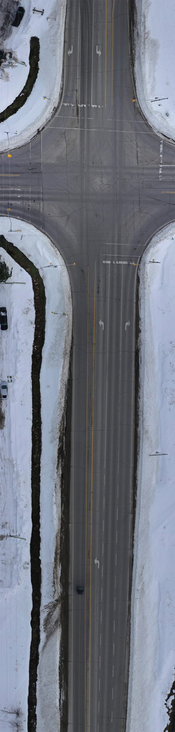
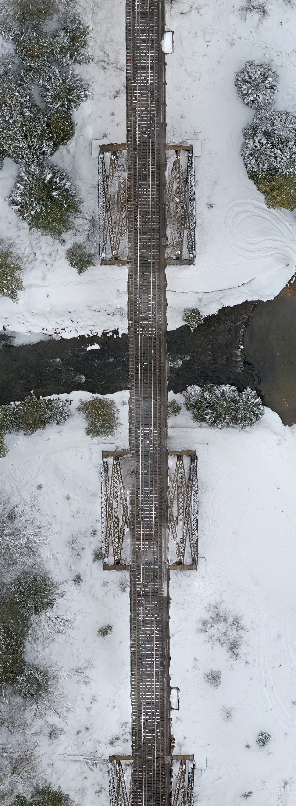
AERIAL MAPPING: ROAD, RAIL AND HYDRO CORRIDORS
UAV Ontario can provide you with road corridor, rail corridor or hydro corridor mapping in a variety of formats. This may also include video corridor mapping for some applications.
These images are typically captured using a drone during multiple flights over several days, or in the case of video corridor mapping, using 2.7K or 4K at 60 frames per second with geo-tagged videos and a detailed log provided.
In high-density areas, we utilize an Idemnis parachute recovery system which permits flight:
- Near People, Within 100 ft (30 m) to 16.4 ft (5 m)
- Over People, Within 16.4 ft (5 m)
Please contact us for all of your aerial survey requirements in Ontario.