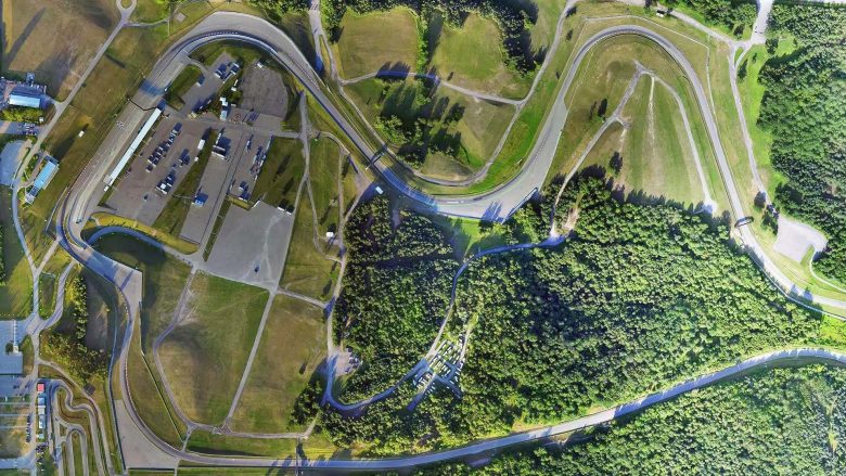
UAV Ontario: Drone Mapping in Ontario
Drone mapping in Ontario is a great way to get aerial data without putting yourself in danger. Mapping with drones is a concept known as Photogrammetry. It is the science of using photographs to make measurements. The results usually come in a 3D model, map, or measurement of a real-world scene or object. In most cases, it is usually a building or construction. This is what makes it ideal for getting Aerial data for your structure.
With the right company for drone mapping in Ontario, you can get accurate aerial surveys for industrial or commercial development. These include site inspections, reports, and many more. UAV Ontario is a leading company that can help you achieve this.
Our expert UAV pilots can aid you with any aerial tasks using our experience in georeferencing and sensors. We offer a broad range of mapping services and aerial surveying to the engineering, mining, construction industries. Our specialists provide photo surveys for your projects using our modern technology and drones.
We can provide aerial images, 2D and 3D models, and maps to offer drone information for progress monitoring. What you get when you choose us for your aerial mapping in Ontario is nothing but the best.
It does not matter how large your property is, either. Our experts can still capture your huge property with accuracy and detail. We use recent software to create numerous drone photos to provide you with the best orthomosaic mapping in Ontario.
Want a video instead? Not a problem as our UAVs have on-board image stabilization that can help create HD videos. This is the case regardless of the weather conditions as our UAV cameras are packed with protective covers. Our skilled experts always ensure you get the ideal results and help edit the footage to produce a result you find satisfactory.
If you want the best drone mapping in Ontario, UAV Ontario is the option for you need. Reach out to us today for the most affordable quotes.

