Once we have captured stunning footage for your site, UAV Ontario will complete the job by providing state of the art editing, titling and audio for your project. This can include site statistics, voice overs, background audio and more. Your storyboard will be prepared in advance and may include supporting video shot from the ground, using an electronic stabilizer (gimbal) for one of our cameras. The final product will be presented to the client for review and ultimately result in a final cut which can be published to YouTube, Vimeo or any other target medium you require.
Here are a few examples of our drone video capabilities. Every aerial photography project is different and is catered to the clients specific needs. We will work with you to perform a site survey and provide pre-production details of the shot angle, motion and duration before shooting the drone video. We take every precaution in regards to site awareness and emergency preparedness for all of our operations.
ABYC, Toronto, Ontario

Manitoulin Trucking Ontario

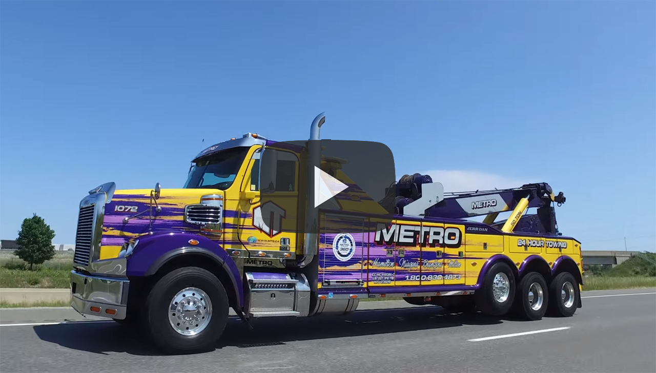
Metro Truck Group: Promo Video
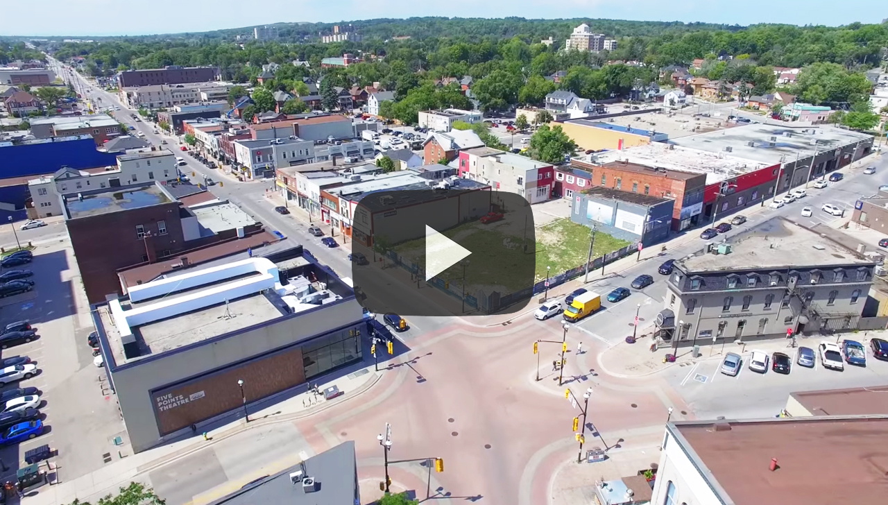
5 Points: Downtown Barrie
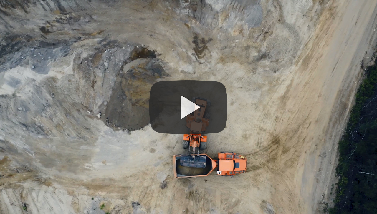
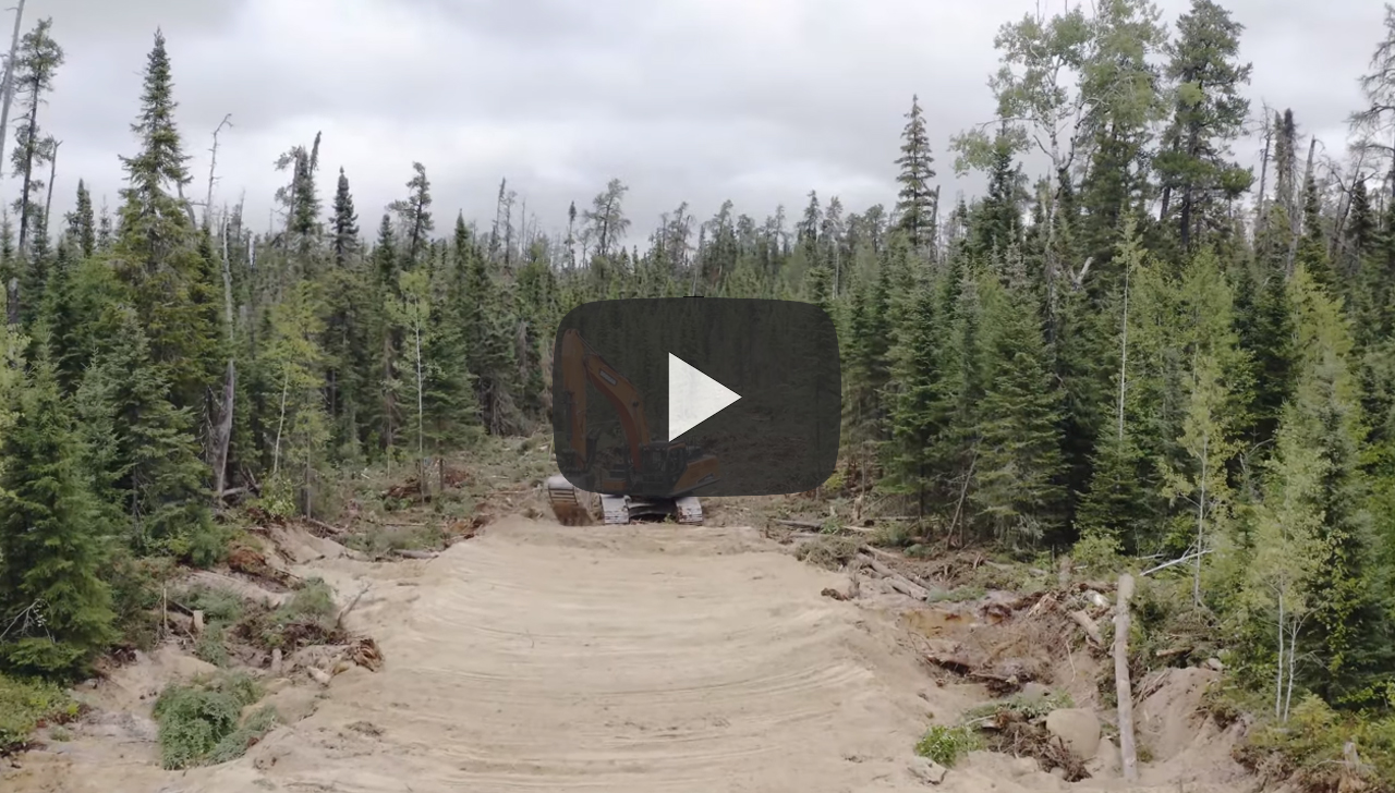
Doosan Heavy Equipment
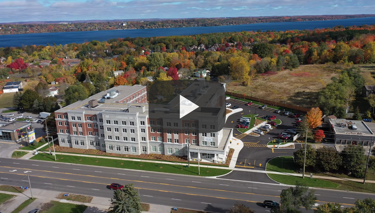
Allandale Retirement Residence, Barrie
Yacht Advertisement, Georgian Bay

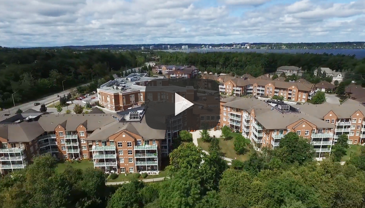
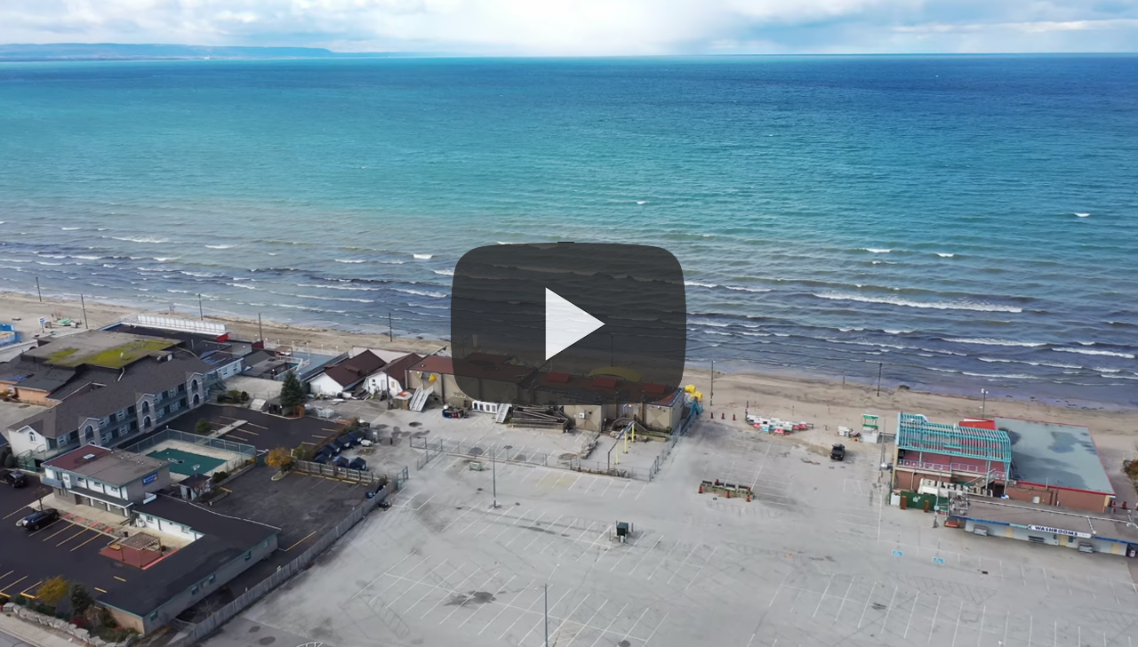
Tollendale Village, Barrie
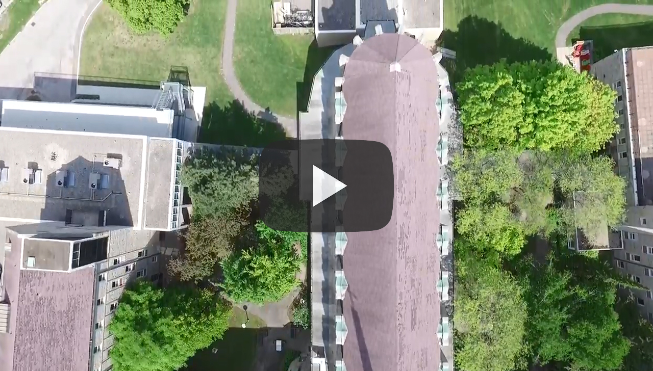
Tyndale College Steeple Inspections, Toronto
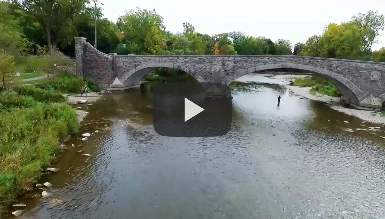
Humber Bridges, Toronto
Commercial Real Estate

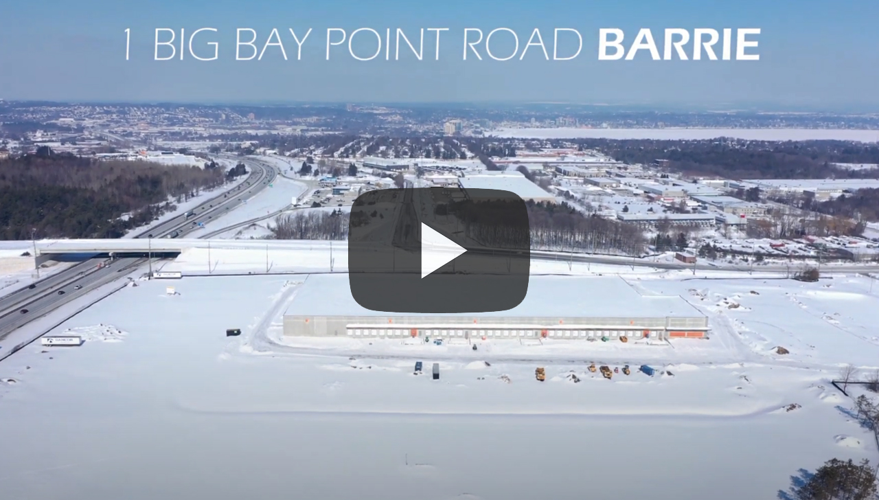
Construction Site, Barrie, Ontario
Ainley Group, Wasaga Beach
Doosan (B Roll)
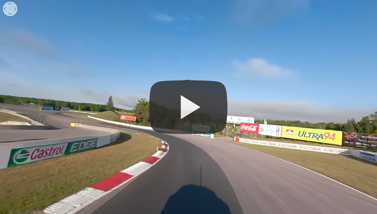
Mosport: 360 VR Lap View
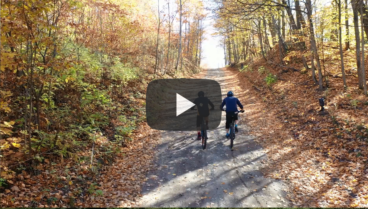
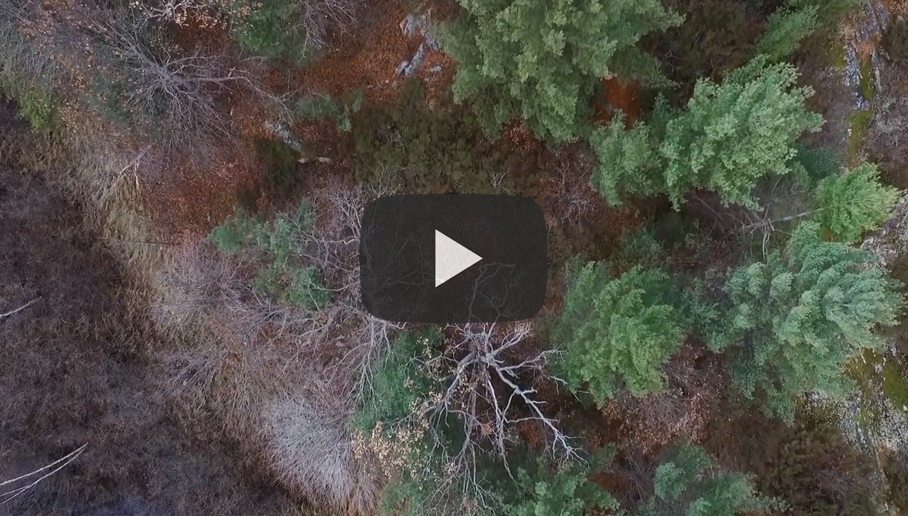
Copeland Forest Mountain Biking
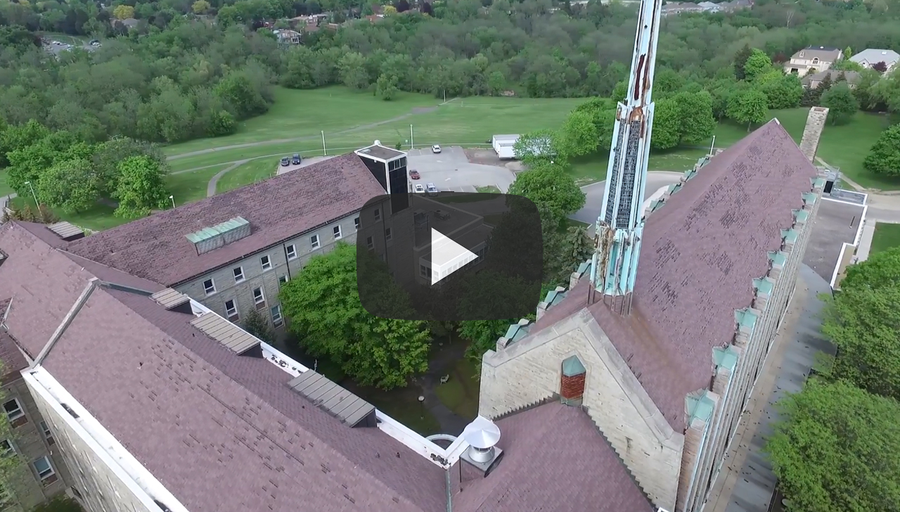
Tyndale College Roof Inspections, Toronto
Tower Line Survey, Honey Harbour
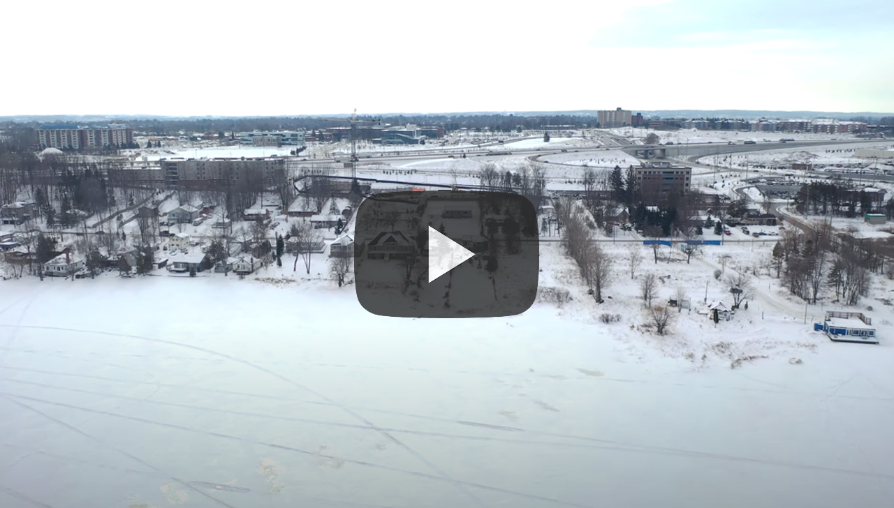
Real Estate Listing, Little Lake, Barrie
Construction Progress, Barrie, Ontario

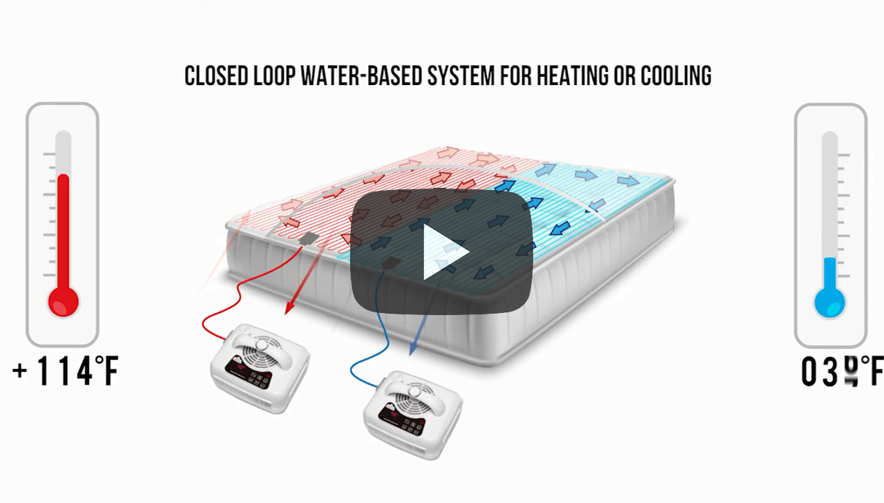
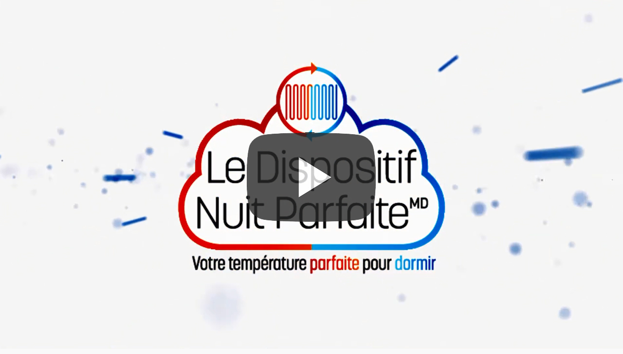
Here are a few of our post-production projects. These are completed using various video sources, including stock footage, client footage and custom animations. We are able to source voice talent and create stunning animated titling for your video. We are able to produce both titling and voiceovers in English and French. The videos are typically delivered digitally via website, YouTube or Vimeo but are broadcast quality at up to 4K resolution.
GEO Express International
GEO Express International: Health Sciences
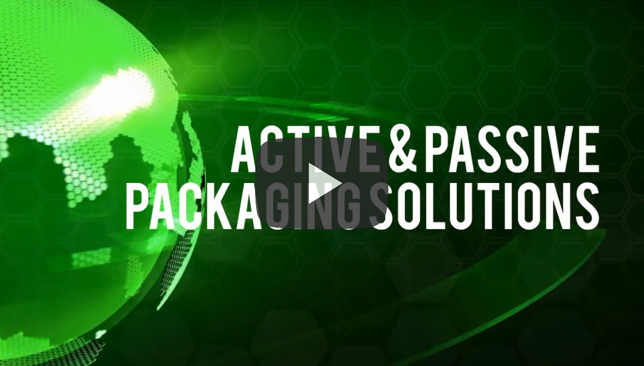
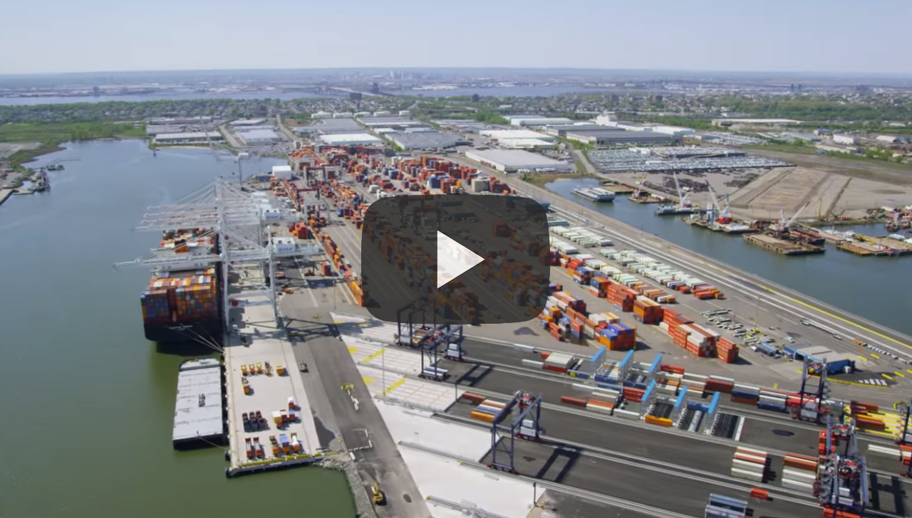
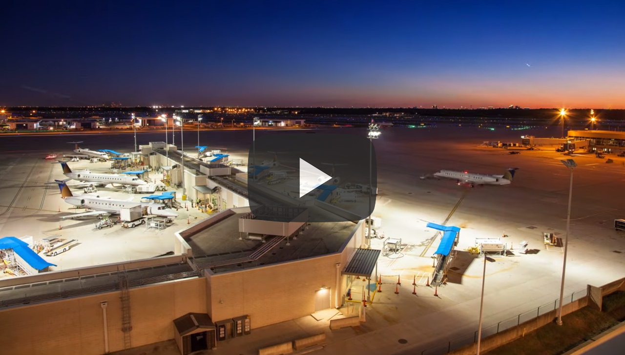
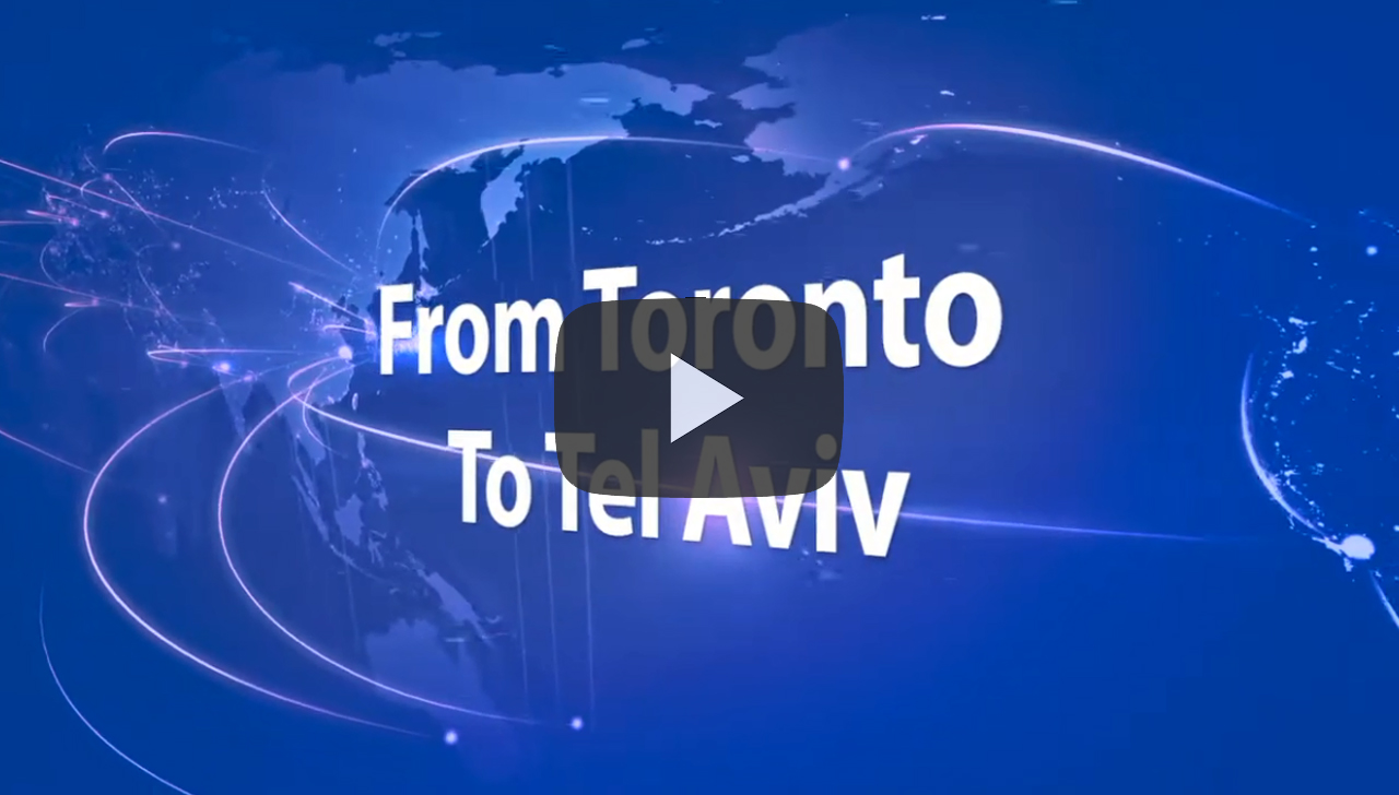
GEO Express International: Global Freight Forwarding for Aviation
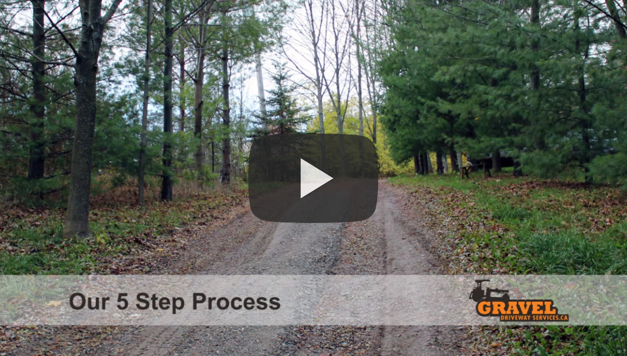
Gravel Driveway Services
FedEx Ground

Medair Life Science Transport Solutions
The Perfect Sleep Pad, English
The Perfect Sleep Pad, French
Online ESL