Orthographic Aerial Photography Solutions
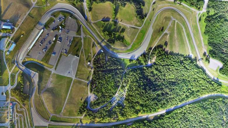
Orthographic aerial photography has become a key part of project management due to the invaluable detail it offers of landscapes and properties that are being considered for inspection and surveying. UAV Ontario is one of the very few Ontario aerial photography services that specialize in GIS aerial photography, and can make your GIS aerial survey work even better than you’d expected.
With their ability to generate crystal clear orthographic photographs that show the true distances between various points on the landscape, UAV Ontario can help you create a genuine 3D visual of the landscape and make surveying any property or area much easier. You can then cover more ground, ensure more accurate results, and get all your work done faster than ever before!