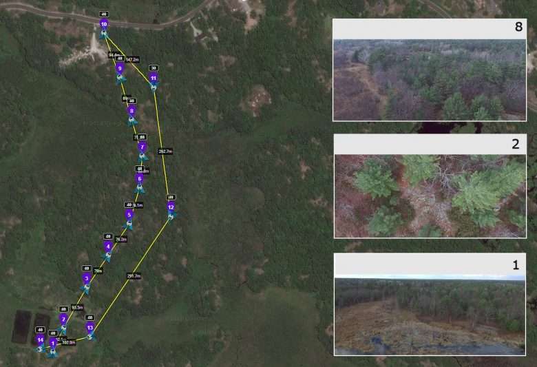
Georeferenced Land Survey – Versatility and Efficiency with Advanced Photography and Videography
The state-of-the-art georeferenced land survey services offered by UAV Ontario use the most modern unmanned air vehicles, also known as drones, for creating complex, sharp and accurate images of various environments. Whether you are looking for commercial or agricultural surveys, for pipeline or powerline surveys or surveys performed of areas that are difficult or dangerous to access for humans, the experienced and certified drone pilot assigned to your project will use the latest technology as well as his wide knowledge of aviation techniques and of aerial photography to create the type of images and videos that best suit your goals. The company’s fleet of drones includes rotary wing as well as fixed wing units, allowing clients to choose the best fit.

